")

SINAM ADVANCE GEO-INFORMATION SYSTEMS
“SINAM” company has started conducting research in the field of Geographical Information Systems and implementing various projects since 2008.
Our experts developed the web-based SAGİS software for working with geographic data, entering, processing, receiving and transmitting reports based on the experience gained during this period and the investigation of various software available in this field.
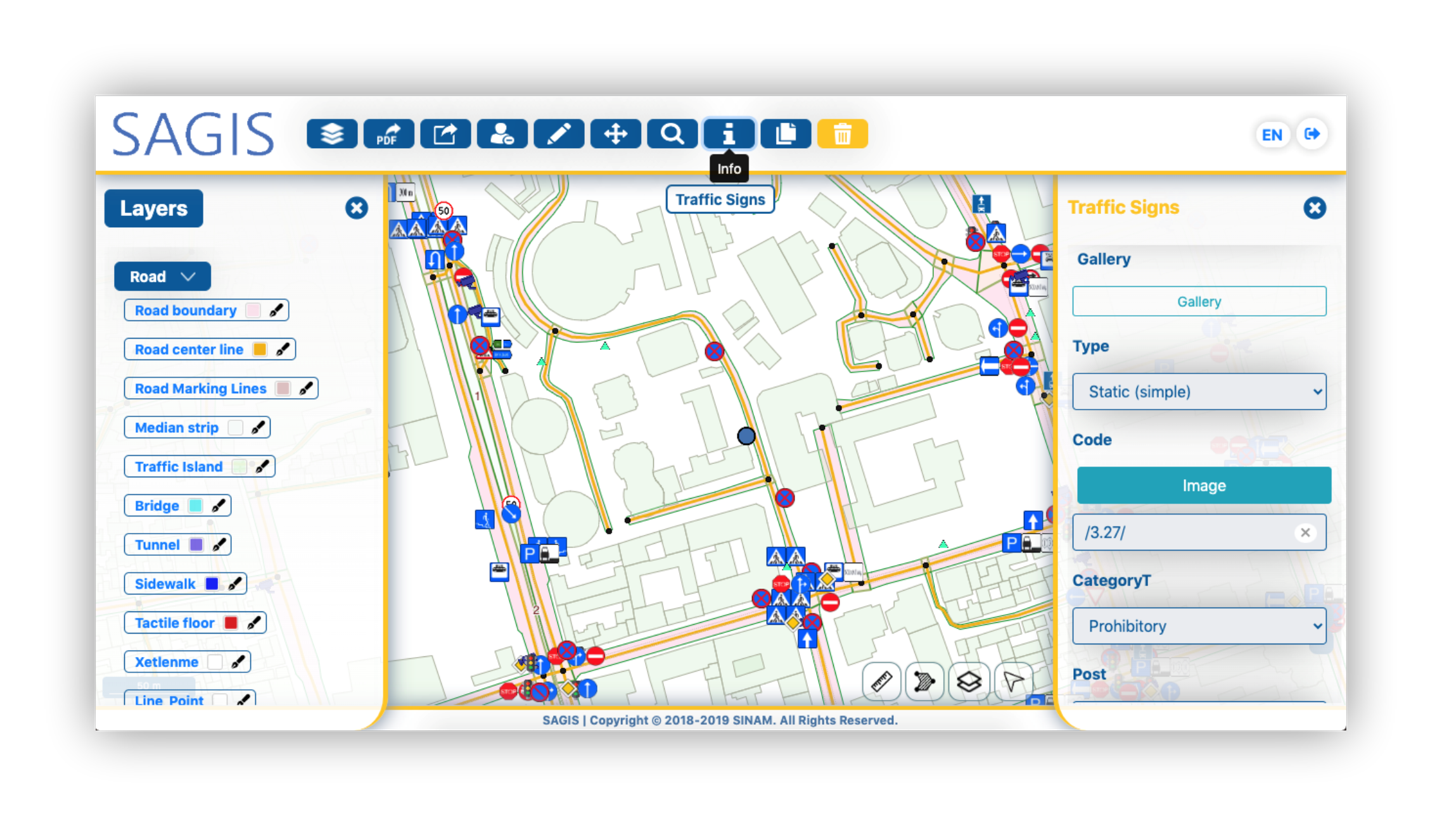
SAGIS has the following opportunities for users:
Creation of thematic electronic maps via computer and mobile phone on the web;
Insertion/modification of coordinates and meta data on the location of geographical objects on the map;
Defining of relationships among objects;
Establishing integrations with various analog systems on electronic services;
Management of large volumes of information by using minimal resources.
Case Study: SINAM ADVANCE GEO-INFORMATION SYSTEMS
Geographical Information System (BNAGIS) of the Azerbaijan Land Transport Agency

Ministry of Transport and Digital Development of the Republic of Azerbaijan, Azerbaijan Land Transport Agency (2018-2020)