")

AGROGIS
Sometimes companies have to implement projects GIS operations (drawing an area, dividing this area, combining, visualizing, moving, etc.) on their web resources. The use of such tools greatly simplifies the management of Geospatial Data on the web resource of the company and allows saving additional programming work. “SINAM” company developed and put into use the “GISTools” service based on its product, the SAGİS system.
“GISTools” allows users registered in any web resource, geographic data (for example, owned land plots) to enter the system, edit, divide, merge, enter data, etc. software for doing as these things.
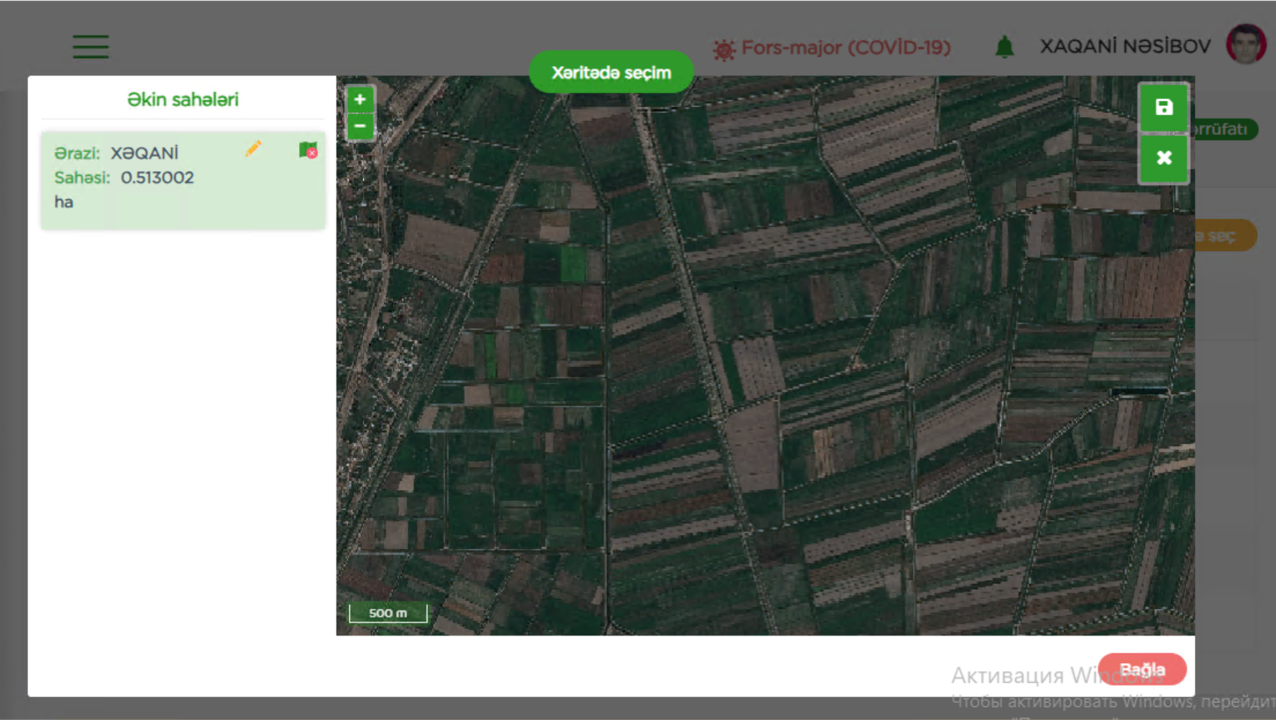
Case Study: AGROGIS
“AgroGIS” software development for the Ministry of Agriculture

Ministry of Agroculture of the Republic of Azerbaijan (2020-2022)